
Dangla topographic map
Interactive map
Click on the map to display elevation.
About this map
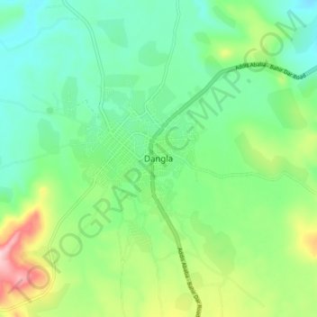
Name: Dangla topographic map, elevation, terrain.
Location: Dangla, Awi, Amhara, Äthiopien (11.21693 36.80984 11.29693 36.88984)
Average elevation: 6,972 ft
Minimum elevation: 6,742 ft
Maximum elevation: 7,497 ft