
Sari topographic map
Interactive map
Click on the map to display elevation.
About this map
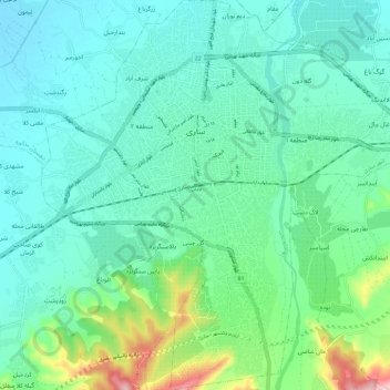
Name: Sari topographic map, elevation, terrain.
Location: Sari, بخش مرکزی, Sari County, Mazandaran Province, Iran (36.50345 53.01224 36.59743 53.12929)
Average elevation: 174 ft
Minimum elevation: -3 ft
Maximum elevation: 833 ft