
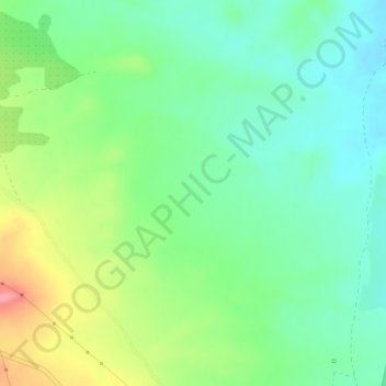
La Veleta topographic map
Interactive map
Click on the map to display elevation.
About this map
Name: La Veleta topographic map, elevation, terrain.
Location: La Veleta, Calanda, Bajo Aragón, Teruel, Aragon, 44570, Spain (40.96667 -0.25266 40.98667 -0.23266)
Average elevation: 1,483 ft
Minimum elevation: 1,375 ft
Maximum elevation: 1,693 ft