呼和浩特市 topographic map
Interactive map
Click on the map to display elevation.
About this map
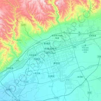
Name: 呼和浩特市 topographic map, elevation, terrain.
Average elevation: 4,022 ft
Minimum elevation: 3,327 ft
Maximum elevation: 6,677 ft

Click on the map to display elevation.
Name: 呼和浩特市 topographic map, elevation, terrain.
Average elevation: 4,022 ft
Minimum elevation: 3,327 ft
Maximum elevation: 6,677 ft