
Jamalpur topographic map
Interactive map
Click on the map to display elevation.
About this map
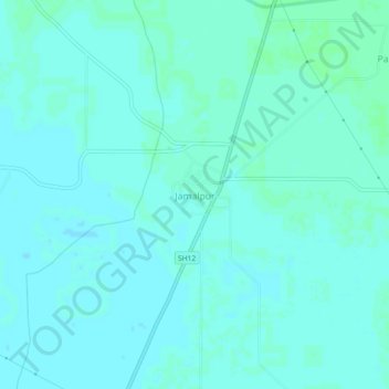
Name: Jamalpur topographic map, elevation, terrain.
Location: Jamalpur, Bawani Khera, Bhiwani district, Haryana, India (28.94180 75.93682 28.98180 75.97682)
Average elevation: 705 ft
Minimum elevation: 699 ft
Maximum elevation: 715 ft