
Cambridge topographic map
Interactive map
Click on the map to display elevation.
About this map
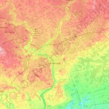
Name: Cambridge topographic map, elevation, terrain.
Location: Cambridge, Waterloo Region, Ontario, N1R 7W6, Canada (43.22555 -80.47136 43.54555 -80.15136)
Average elevation: 991 ft
Minimum elevation: 663 ft
Maximum elevation: 1,302 ft