
Sidi Bakhti topographic map
Interactive map
Click on the map to display elevation.
About this map
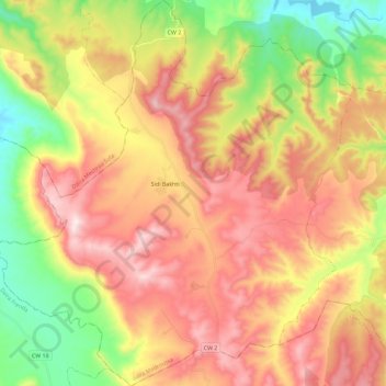
Name: Sidi Bakhti topographic map, elevation, terrain.
Location: Sidi Bakhti, daïra Medroussa, Tiaret, Algérie (35.14285 0.87902 35.33043 1.09260)
Average elevation: 2,953 ft
Minimum elevation: 1,896 ft
Maximum elevation: 3,983 ft