
和平里街道 topographic map
Interactive map
Click on the map to display elevation.
About this map
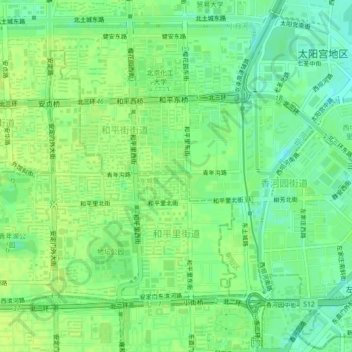
Name: 和平里街道 topographic map, elevation, terrain.
Location: 和平里街道, 东城区, 首都功能核心区, 北京市, 100010, 中国 (39.94806 116.38024 39.97265 116.42484)
Average elevation: 161 ft
Minimum elevation: 128 ft
Maximum elevation: 180 ft
Other topographic maps
Click on a map to view its topography, its elevation and its terrain.