
Furnace topographic map
Interactive map
Click on the map to display elevation.
About this map
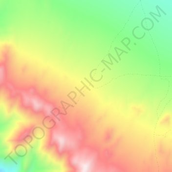
Name: Furnace topographic map, elevation, terrain.
Location: Furnace, Inyo County, California, USA (36.17117 -116.68594 36.21117 -116.64594)
Average elevation: 4,718 ft
Minimum elevation: 3,691 ft
Maximum elevation: 5,656 ft