
Benamira topographic map
Interactive map
Click on the map to display elevation.
About this map
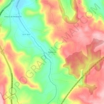
Name: Benamira topographic map, elevation, terrain.
Location: Benamira, Medinaceli, Soria, Castille-et-León, Espagne (41.07331 -2.44330 41.11331 -2.40330)
Average elevation: 3,753 ft
Minimum elevation: 3,455 ft
Maximum elevation: 4,016 ft