
Dabola topographic map
Interactive map
Click on the map to display elevation.
About this map
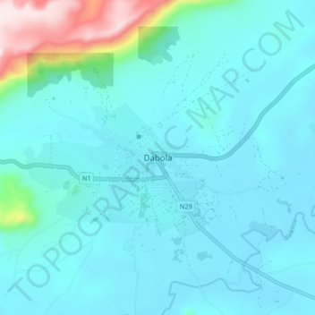
Name: Dabola topographic map, elevation, terrain.
Location: Dabola, Faranah Region, Guinea (10.70217 -11.14649 10.78217 -11.06649)
Average elevation: 1,594 ft
Minimum elevation: 1,345 ft
Maximum elevation: 3,274 ft
Other topographic maps
Click on a map to view its topography, its elevation and its terrain.
Kissidougou
Guinea > Faranah Region > Kissidougou
Kissidougou, Faranah Region, Guinea
Average elevation: 1,759 ft