
Digi topographic map
Interactive map
Click on the map to display elevation.
About this map
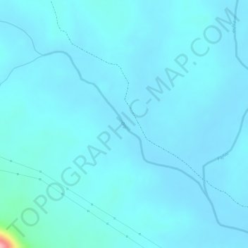
Name: Digi topographic map, elevation, terrain.
Location: Digi, Tamnar Tahsil, Raigarh District, Chhattisgarh, India (22.11913 83.38658 22.13493 83.40580)
Average elevation: 837 ft
Minimum elevation: 794 ft
Maximum elevation: 1,286 ft