Geolocate

Lehman topographic map

Click on the map to display elevation.

About this map
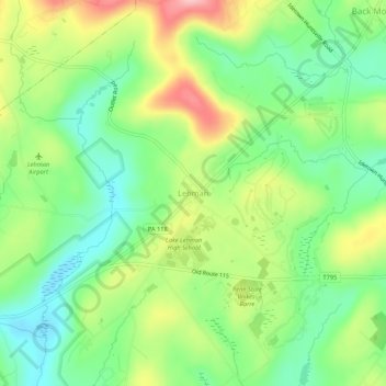
Name: Lehman topographic map, elevation, terrain.

Location: Lehman, Lehman Township, Luzerne County, Pennsylvania, 18654, United States (41.29702 -76.04242 41.33702 -76.00242)

Average elevation: 1,253 ft

Minimum elevation: 1,050 ft

Maximum elevation: 1,572 ft

Luzerne County trails, hiking, mountain biking, running and outdoor activities

Gear up for your next adventure:

🖼️Topo Map Wall Art - Decorative topographic prints of famous peaks and regions
🎒Day Hiking Backpack - Lightweight backpack perfect for day trips and outdoor adventures
🛰️Handheld GPS Units - Professional satellite navigators for precise backcountry mapping
🌡️Handheld Weather Meters - Measure wind, temp, and pressure for safe mountain travel
📶Satellite Messenger - Communication device off‑grid

As an Amazon Associate, this site earns from qualifying purchases at no extra cost to you.