
Provincia de Luya topographic map
Interactive map
Click on the map to display elevation.
About this map
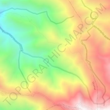
Name: Provincia de Luya topographic map, elevation, terrain.
Location: Provincia de Luya, Ocumal, Luya, Amazonas, Perú (-6.37696 -78.07768 -6.33696 -78.03768)
Average elevation: 9,304 ft
Minimum elevation: 7,096 ft
Maximum elevation: 11,549 ft
Other topographic maps
Click on a map to view its topography, its elevation and its terrain.