Haxey topographic map
Click on the map to display elevation.
Haxey
The civil parish includes the town of Haxey and village of Westwoodside, and the hamlets of High Burnham (the highest elevation of the Isle of Axholme), Low Burnham, East Lound, Graizelound and Upperthorpe which is conjoined to Westwoodside.
About this map
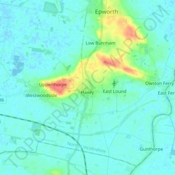
Name: Haxey topographic map, elevation, terrain.
Location: Haxey, North Lincolnshire, England, United Kingdom (53.46027 -0.92062 53.52115 -0.78842)
Average elevation: 23 ft
Minimum elevation: -13 ft
Maximum elevation: 138 ft
Other topographic maps
Click on a map to view its topography, its elevation and its terrain.