
Tumtum topographic map
Interactive map
Click on the map to display elevation.
About this map
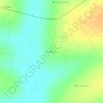
Name: Tumtum topographic map, elevation, terrain.
Location: Tumtum, Katakwi, Eastern Region, Ouganda (1.87928 34.01432 1.91928 34.05432)
Average elevation: 3,484 ft
Minimum elevation: 3,442 ft
Maximum elevation: 3,540 ft