
Bulalacao Island topographic map
Interactive map
Click on the map to display elevation.
About this map
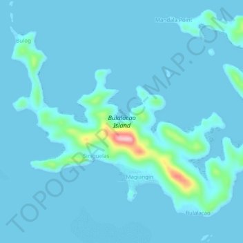
Name: Bulalacao Island topographic map, elevation, terrain.
Average elevation: 39 ft
Minimum elevation: -7 ft
Maximum elevation: 584 ft
Other topographic maps
Click on a map to view its topography, its elevation and its terrain.
Camanga Island
Philippines > Palawan > Coron
Camanga Island, Coron, Palawan, Mimaropa, Philippines
Average elevation: 3 ft
Coron Island
Philippines > Palawan > Coron
Coron Island, Coron, Palawan, Mimaropa, 5316, Philippines
Average elevation: 121 ft
Mangroves
Philippines > Palawan > Coron > Borac
Mangroves, Borac, Coron, Palawan, Mimaropa, 5316, Philippines
Average elevation: 148 ft