
Lac Thériault topographic map
Interactive map
Click on the map to display elevation.
About this map
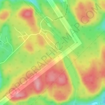
Name: Lac Thériault topographic map, elevation, terrain.
Average elevation: 1,302 ft
Minimum elevation: 1,070 ft
Maximum elevation: 1,490 ft
Other topographic maps
Click on a map to view its topography, its elevation and its terrain.
Lac Côme
Canada > Québec > Matawinie > Saint-Côme
Lac Côme, Saint-Côme, Matawinie, Lanaudière, Québec, Canada
Average elevation: 1,155 ft