
Al-Tabqah topographic map
Interactive map
Click on the map to display elevation.
About this map
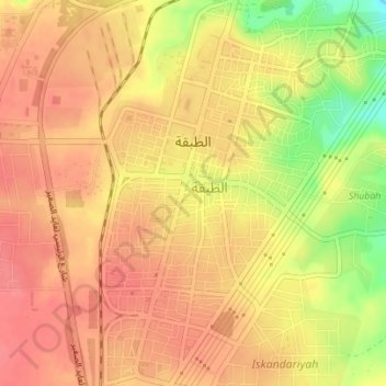
Name: Al-Tabqah topographic map, elevation, terrain.
Average elevation: 1,112 ft
Minimum elevation: 961 ft
Maximum elevation: 1,175 ft
Other topographic maps
Click on a map to view its topography, its elevation and its terrain.
Mansoura
Mansoura, Al-Mansurah Subdistrict, Al-Thawrah District, Ar-Raqqah Governorate, Syria
Average elevation: 892 ft
Tall Hammam
Syria > Ar-Raqqah Governorate > Damishliyah
Tall Hammam, Damishliyah, Suluk Subdistrict, Tell Abyad District, Ar-Raqqah Governorate, Syria
Average elevation: 1,033 ft