
Chornobyl topographic map
Click on the map to display elevation.
About this map
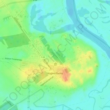
Name: Chornobyl topographic map, elevation, terrain.
Location: Chornobyl, Vyshhorod Raion, Kyiv Oblast, 07270, Ukraine (51.26105 30.19563 51.28992 30.24375)
Average elevation: 371 ft
Minimum elevation: 325 ft
Maximum elevation: 456 ft
Other topographic maps
Click on a map to view its topography, its elevation and its terrain.