
Bakool topographic map
Interactive map
Click on the map to display elevation.
About this map
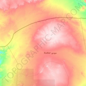
Name: Bakool topographic map, elevation, terrain.
Location: Bakool, Hudur District, Bakool, South West, Somalia (3.35144 42.71861 5.35144 44.71861)
Average elevation: 1,476 ft
Minimum elevation: 643 ft
Maximum elevation: 2,454 ft