
Hoogboom-Zilverenhoek topographic map
Interactive map
Click on the map to display elevation.
About this map
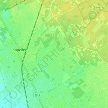
Name: Hoogboom-Zilverenhoek topographic map, elevation, terrain.
Location: Hoogboom-Zilverenhoek, Kapellen, Antwerpen, Vlaanderen, België (51.29265 4.42070 51.33386 4.47452)
Average elevation: 33 ft
Minimum elevation: 0 ft
Maximum elevation: 56 ft
Other topographic maps
Click on a map to view its topography, its elevation and its terrain.
Kapellenbos
België > Antwerpen > Antwerpen > Kapellen
Kapellenbos, Kapellen, Antwerpen, Vlaanderen, 2950, België
Average elevation: 62 ft