
East Billerica topographic map
Interactive map
Click on the map to display elevation.
About this map
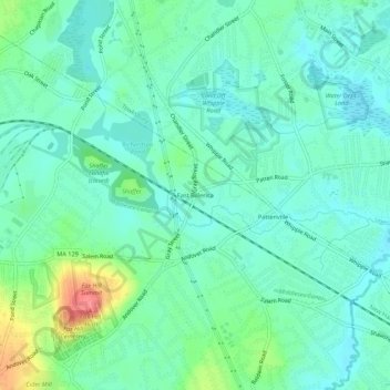
Name: East Billerica topographic map, elevation, terrain.
Average elevation: 131 ft
Minimum elevation: 72 ft
Maximum elevation: 308 ft
Other topographic maps
Click on a map to view its topography, its elevation and its terrain.
Riverside
United States > Massachusetts > Middlesex County > Billerica
Riverside, Billerica, Middlesex County, Massachusetts, 01741, United States
Average elevation: 174 ft