
Sint-Antonius topographic map
Interactive map
Click on the map to display elevation.
About this map
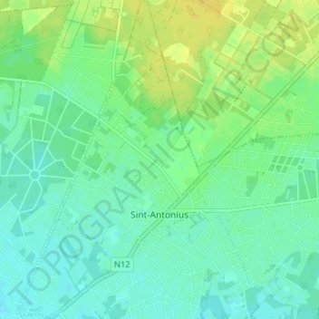
Name: Sint-Antonius topographic map, elevation, terrain.
Location: Sint-Antonius, Zoersel, Antwerpen, Vlaanderen, België (51.25305 4.60786 51.29386 4.64647)
Average elevation: 56 ft
Minimum elevation: 30 ft
Maximum elevation: 95 ft
Other topographic maps
Click on a map to view its topography, its elevation and its terrain.