
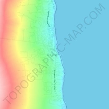
El Sargento topographic map
Interactive map
Click on the map to display elevation.
About this map
Name: El Sargento topographic map, elevation, terrain.
Location: El Sargento, La Paz, Baja California Sur, México (24.05539 -110.01245 24.09539 -109.97245)
Average elevation: 138 ft
Minimum elevation: -3 ft
Maximum elevation: 505 ft