
Laarne topographic map
Interactive map
Click on the map to display elevation.
About this map
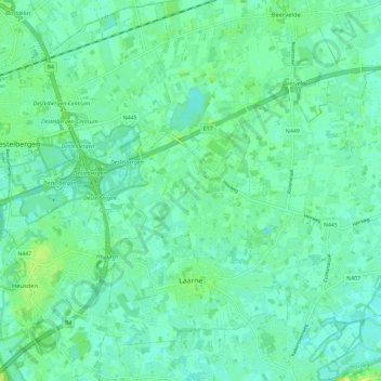
Name: Laarne topographic map, elevation, terrain.
Location: Laarne, Oost-Vlaanderen, Vlaanderen, 9270, België (51.01729 3.82308 51.07600 3.93826)
Average elevation: 20 ft
Minimum elevation: -3 ft
Maximum elevation: 49 ft