
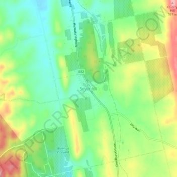
Sevenhill topographic map
Interactive map
Click on the map to display elevation.
About this map
Name: Sevenhill topographic map, elevation, terrain.
Average elevation: 1,565 ft
Minimum elevation: 1,371 ft
Maximum elevation: 1,870 ft
Other topographic maps
Click on a map to view its topography, its elevation and its terrain.
Penwortham
Australia > South Australia > Sevenhill
Penwortham, Sevenhill, Clare and Gilbert Valleys Council, South Australia, 5453, Australia
Average elevation: 1,568 ft