
Arroyo San Juan topographic map
Interactive map
Click on the map to display elevation.
About this map
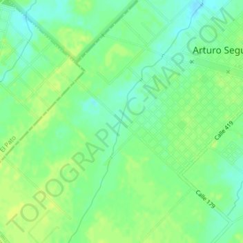
Name: Arroyo San Juan topographic map, elevation, terrain.
Average elevation: 75 ft
Minimum elevation: 46 ft
Maximum elevation: 95 ft
Other topographic maps
Click on a map to view its topography, its elevation and its terrain.
Arturo Seguí
Argentina > Buenos Aires > Arturo Seguí
Arturo Seguí, Partido de La Plata, Buenos Aires, Argentina
Average elevation: 72 ft