
Río Salado topographic map
Interactive map
Click on the map to display elevation.
About this map
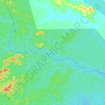
Name: Río Salado topographic map, elevation, terrain.
Location: Río Salado, Aguarico, Orellana, Ecuador (-0.97593 -75.53518 -0.90795 -75.42313)
Average elevation: 617 ft
Minimum elevation: 564 ft
Maximum elevation: 794 ft
Other topographic maps
Click on a map to view its topography, its elevation and its terrain.
12 de Febrero
Ecuador > Orellana > 12 de Febrero
12 de Febrero, Joya de los Sachas, Orellana, Ecuador
Average elevation: 981 ft