
Laurel topographic map
Interactive map
Click on the map to display elevation.
About this map
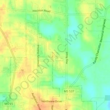
Name: Laurel topographic map, elevation, terrain.
Location: Laurel, Jones County, Mississippi, United States of America (31.74059 -89.13463 31.74161 -89.13302)
Average elevation: 276 ft
Minimum elevation: 213 ft
Maximum elevation: 328 ft