
Gaskil topographic map
Interactive map
Click on the map to display elevation.
About this map
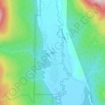
Name: Gaskil topographic map, elevation, terrain.
Location: Gaskil, Grand County, Colorado, United States of America (40.31054 -105.88223 40.35054 -105.84223)
Average elevation: 9,154 ft
Minimum elevation: 8,734 ft
Maximum elevation: 10,486 ft