
Ventura topographic map
Interactive map
Click on the map to display elevation.
About this map
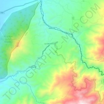
Name: Ventura topographic map, elevation, terrain.
Location: Ventura, Cañar, Ecuador (-2.33280 -79.17765 -2.21605 -79.08398)
Average elevation: 2,523 ft
Minimum elevation: 738 ft
Maximum elevation: 6,624 ft