
Upton topographic map
Interactive map
Click on the map to display elevation.
About this map
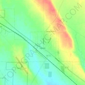
Name: Upton topographic map, elevation, terrain.
Location: Upton, Weston County, Wyoming, United States of America (44.08594 -104.66532 44.11888 -104.60775)
Average elevation: 4,268 ft
Minimum elevation: 4,183 ft
Maximum elevation: 4,386 ft