
Bühler topographic map
Interactive map
Click on the map to display elevation.
About this map
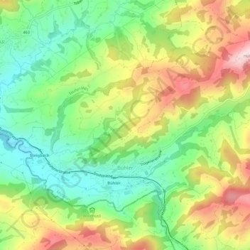
Name: Bühler topographic map, elevation, terrain.
Location: Bühler, Mittelland, Appenzell Ausserrhoden, 9055, Switzerland (47.36800 9.40032 47.39326 9.45434)
Average elevation: 3,051 ft
Minimum elevation: 2,572 ft
Maximum elevation: 3,714 ft