
Grandhan topographic map
Interactive map
Click on the map to display elevation.
About this map
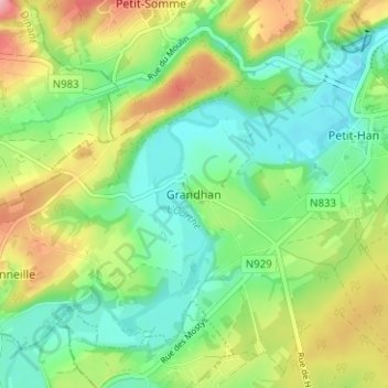
Name: Grandhan topographic map, elevation, terrain.
Location: Grandhan, Durbuy, Luxemburg, Wallonië, B 6940, België (50.30998 5.38867 50.34998 5.42867)
Average elevation: 610 ft
Minimum elevation: 469 ft
Maximum elevation: 850 ft