
Bistrup topographic map
Interactive map
Click on the map to display elevation.
About this map
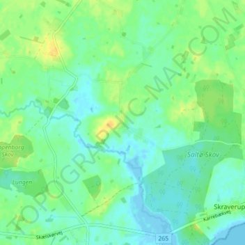
Name: Bistrup topographic map, elevation, terrain.
Location: Bistrup, Naestved Municipality, Region Zealand, 4736, Denmark (55.20384 11.63470 55.24384 11.67470)
Average elevation: 26 ft
Minimum elevation: -10 ft
Maximum elevation: 72 ft