
Dolisie topographic map
Interactive map
Click on the map to display elevation.
About this map
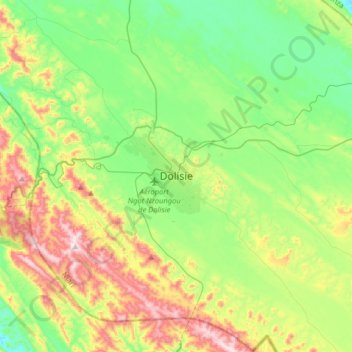
Name: Dolisie topographic map, elevation, terrain.
Location: Dolisie, Niari, Republic of the Congo (-4.36054 12.51916 -4.04054 12.83916)
Average elevation: 1,266 ft
Minimum elevation: 591 ft
Maximum elevation: 2,651 ft