
Panting topographic map
Interactive map
Click on the map to display elevation.
About this map
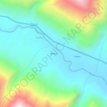
Name: Panting topographic map, elevation, terrain.
Location: Panting, Akshu, Zanskar, Kargil District, Ladakh, India (33.69021 76.50601 33.73021 76.54601)
Average elevation: 13,278 ft
Minimum elevation: 12,280 ft
Maximum elevation: 16,043 ft