
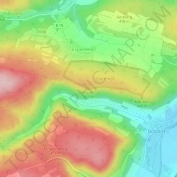
Haart topographic map
Interactive map
Click on the map to display elevation.
About this map
Name: Haart topographic map, elevation, terrain.
Location: Haart, Arnstadt, Ilm-Kreis, Thüringen, 99338, Duitsland (50.80365 10.89714 50.80375 10.89724)
Average elevation: 1,329 ft
Minimum elevation: 1,007 ft
Maximum elevation: 1,677 ft