
Pantani topographic map
Interactive map
Click on the map to display elevation.
About this map
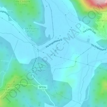
Name: Pantani topographic map, elevation, terrain.
Location: Pantani, Cerreto Laziale, Roma Capitale, Italy (41.92600 12.95483 41.94600 12.97483)
Average elevation: 1,404 ft
Minimum elevation: 1,276 ft
Maximum elevation: 2,346 ft