
Amendolea topographic map
Interactive map
Click on the map to display elevation.
About this map
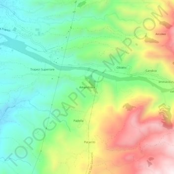
Name: Amendolea topographic map, elevation, terrain.
Location: Amendolea, RC, Calabria, 89134, Italia (38.02319 15.67510 38.06319 15.71510)
Average elevation: 1,053 ft
Minimum elevation: 138 ft
Maximum elevation: 2,539 ft