
Le Bosc de Cailly topographic map
Interactive map
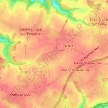
Click on the map to display elevation.
About this map
Name: Le Bosc de Cailly topographic map, elevation, terrain.
Average elevation: 528 ft
Minimum elevation: 377 ft
Maximum elevation: 577 ft
Other topographic maps
Click on a map to view its topography, its elevation and its terrain.
La Mare aux Loups
France > Normandie > Seine-Maritime > Quincampoix
La Mare aux Loups, Quincampoix, Rouen, Seine-Maritime, Normandie, France métropolitaine, 76230, France
Average elevation: 538 ft
Les Hameaux
France > Normandie > Seine-Maritime > Quincampoix
Les Hameaux, Quincampoix, Rouen, Seine-Maritime, Normandie, France métropolitaine, 76230, France
Average elevation: 515 ft