
Herst topographic map
Interactive map
Click on the map to display elevation.
About this map
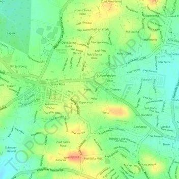
Name: Herst topographic map, elevation, terrain.
Location: Herst, Montaña Abou, Curaçao, Nederland (12.11995 -68.86663 12.12286 -68.86284)
Average elevation: 125 ft
Minimum elevation: 52 ft
Maximum elevation: 203 ft