
Cooksville topographic map
Interactive map
Click on the map to display elevation.
About this map
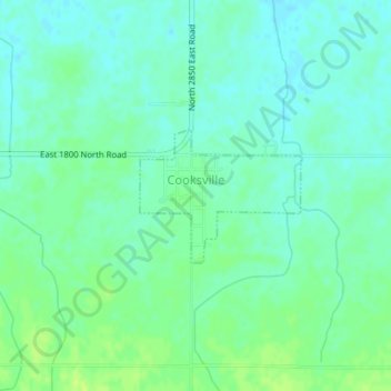
Name: Cooksville topographic map, elevation, terrain.
Location: Cooksville, McLean County, Illinois, USA (40.53731 -88.72156 40.54656 -88.70691)
Average elevation: 771 ft
Minimum elevation: 751 ft
Maximum elevation: 794 ft