Elverhøj topographic map
Interactive map
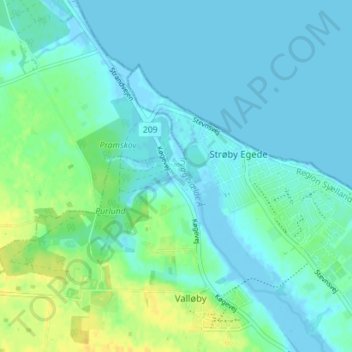
Click on the map to display elevation.
About this map
Name: Elverhøj topographic map, elevation, terrain.
Average elevation: 20 ft
Minimum elevation: -13 ft
Maximum elevation: 72 ft

Click on the map to display elevation.
Name: Elverhøj topographic map, elevation, terrain.
Average elevation: 20 ft
Minimum elevation: -13 ft
Maximum elevation: 72 ft