
Koungheul topographic map
Interactive map
Click on the map to display elevation.
About this map
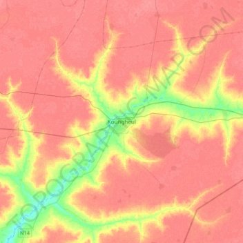
Name: Koungheul topographic map, elevation, terrain.
Location: Koungheul, Kaffrine Region, Senegal (13.81958 -14.96354 14.13958 -14.64354)
Average elevation: 128 ft
Minimum elevation: 10 ft
Maximum elevation: 174 ft