
Strée topographic map
Interactive map
Click on the map to display elevation.
About this map
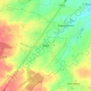
Name: Strée topographic map, elevation, terrain.
Location: Strée, Beaumont, Hainaut, Wallonia, 6511, Belgium (50.25663 4.27805 50.29663 4.31805)
Average elevation: 584 ft
Minimum elevation: 489 ft
Maximum elevation: 689 ft