
Dayr Alla topographic map
Interactive map
Click on the map to display elevation.
About this map
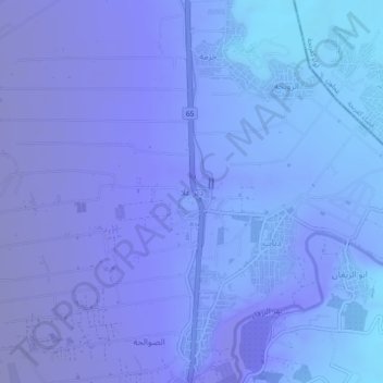
Name: Dayr Alla topographic map, elevation, terrain.
Location: Dayr Alla, Irbid, Jordan (32.17778 35.60111 32.21778 35.64111)
Average elevation: -722 ft
Minimum elevation: -876 ft
Maximum elevation: -171 ft