
Río Apurimac topographic map
Interactive map
Click on the map to display elevation.
About this map
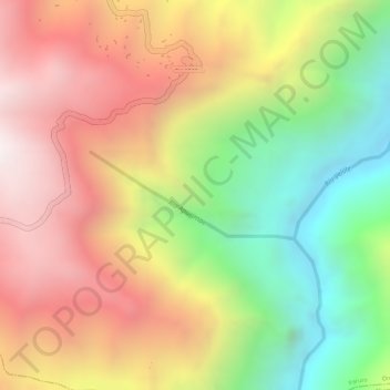
Name: Río Apurimac topographic map, elevation, terrain.
Location: Río Apurimac, Omacha, Provincia de Paruro, Cuzco, Perú (-14.19090 -71.87111 -14.18488 -71.85657)
Average elevation: 12,375 ft
Minimum elevation: 10,597 ft
Maximum elevation: 13,894 ft
Other topographic maps
Click on a map to view its topography, its elevation and its terrain.