
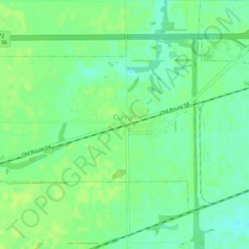
Curran topographic map
Interactive map
Click on the map to display elevation.
About this map
Name: Curran topographic map, elevation, terrain.
Location: Curran, Sangamon County, Illinois, United States of America (39.73075 -89.79972 39.75192 -89.76084)
Average elevation: 620 ft
Minimum elevation: 594 ft
Maximum elevation: 633 ft